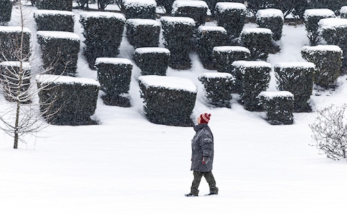
The National Weather Service predicts that this weekend will bring substantial snowfall to sections of central Pennsylvania, with southern regions of the state potentially seeing up to 8 inches of accumulation.
The storm that is predicted to begin on Sunday night and move through central Pennsylvania by Monday night will mostly impact southern Pennsylvanian cities and municipalities.
Forecasters predict a significant halt in snow accumulation on the storm’s north side as of Saturday.
Our initial thoughts on snowfall for the Sunday/Monday system are shown here. This system could yet change over the course of the next day or so. The amount of snow will vary in a narrow gradient. Watch how the prediction changes over the course of the next 24 to 48 hours.sGHtZBnvcm #PAwxpic.twitter.com
The current prediction models show that Chambersburg will receive 2 to 8 inches of snow, York will receive 2 to 7 inches, Harrisburg will receive less than 6 inches, and Lancaster, Mount Union, Altoona, and Johnstown will receive 1 to 6 inches.
From late Sunday night into Monday evening, a storm watch is in force for Chambersburg, Lancaster, York, and Gettysburg. It is anticipated that there will be up to five inches of snowfall overall. It is anticipated that those regions would receive 1 to 2 inches of snow on Sunday and 3 to 5 inches on Monday.
Among the regions most likely to receive snowfall were Bedford and Somerset, where 3 to 8 inches might fall by 7 p.m. on Monday. According to the NWS, Pittsburgh and Philadelphia may also receive up to 6 inches of snow between Sunday and Monday.
The NWS stated that depending on how far north or south the weather pattern moves, snowfall totals on the upper and lower ends of the storm might increase or decrease, even though current forecasts predict less snow in northern Pennsylvania.
Forecasts should be checked often throughout the next 24 to 48 hours, according to the NWS.
Less than 4 inches of snow are expected in State College, Sellinsgrove, Pottsville, and Allentown as of Saturday, according to NWS forecasts. It is predicted that municipalities further north would receive ranging from three inches of snow to less than one inch.
The NWS stated in its report that no ice or sleet is currently anticipated as part of this weekend’s storm.
The following was on Harrisburg’s two-day forecast for Saturday:
On Sunday:
bright, with a high of about 32. 10 to 13 mph west wind with gusts up to 24 mph
Sunday evening:
Snow is probably going to fall after 1am. somewhat overcast with a low of about 24. There is a 5 mph west wind that calms down in the evening. Precipitation is 60% likely. It is possible for new snow to accumulate by less than one inch.
Monday:
Snow. high close to 29. In the morning, a calm breeze will turn northeast at 5 to 8 mph. Precipitation is 90% likely. A probable new snow fall of two to four inches
Monday evening:
Before 1am, there is a risk of snow. somewhat overcast, with a low of about twenty. Precipitation is 30% likely.

A list of vehicle limitations that will be in effect from Sunday night to Monday night was recently released by PennDOT. Additionally, over 600 traffic operators, safety patrol members, and equipment operators will be available throughout the Commonwealth.
The proposed PennDOT limitations include busy roadways in central Pennsylvania, such as I-81, I-83, and the Pennsylvania Turnpike (I-76).
According to the NWS, other regions of the nation may get the most snowfall in more than ten years.
The NWS Weather Prediction Center predicts significant snow accumulation in areas from central Kansas to Ohio, especially near Interstate 70. On Sunday alone, there is a 60–70% probability of at least 8 inches of snow falling in that area.
Furthermore, the central plains might experience blizzard conditions on Sunday morning, with gusts of up to 35 miles per hour. The Mississippi and Ohio valleys, as well as the central Appalachians, are also predicted to have accumulations of ice and freezing rain.
Weather reports
Note: Every piece of content is rigorously reviewed by our team of experienced writers and editors to ensure its accuracy. Our writers use credible sources and adhere to strict fact-checking protocols to verify all claims and data before publication. If an error is identified, we promptly correct it and strive for transparency in all updates, feel free to reach out to us via email. We appreciate your trust and support!

