
The National Weather Service (NWS) forecasters are providing a final update on the amount of snow, freezing rain, and sleet that Pennsylvania can anticipate by this weekend as the state gets ready for yet another winter storm.
The NWS is now forecasting the heaviest winter weather from late Wednesday night into Thursday early, despite prior forecasts that called for snow in central Pennsylvania by Wednesday afternoon.
There is still only a flutter or two of that band that has been spotted over Central #PAwx all day making their way to the ground. It won’t be long (1-2 hours) until some mixed precipitation falls over southern Pennsylvania.vVi2N2asVf pic.twitter.com/
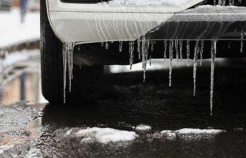
As significant freezing rain is predicted for tonight and tomorrow, it’s critical to keep in mind how hazardous freezing rain may be:Risky TravelAbsence of powerWalking surfaces that are slippery #PAwxpic.twitter.com/xzexMbrK7H