
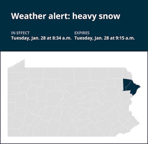
At 8:34 a.m. on Tuesday, the National Weather Service updated its forecast, predicting significant snowfall in Southern Wayne and Pike County through 9:15 a.m.
“At 8:34 a.m., a band of heavy snow was along a line extending from near Rock Hill to near Eldred to Prompton and moving southeast at 35 MPH,” according to the weather service.
Monticello, Lackawaxen, Honesdale, Shohola, Matamoras, Tusten, Waymart, Wurtsboro, Hawley, and Milford are among the places affected by the alert. The following highway exits are included in this: Route 17/Interstate 86 between 106 and 114. 46 to 53 on Interstate 84.
“If you have to travel into or through this band of heavy snow, exercise extra caution,” the weather service cautions. Accidents may result from abrupt changes in visibility and perhaps slick roads.
United Robots offers a service called Advance Local Weather Alerts that gathers the most recent information from the National Weather Service using machine learning.