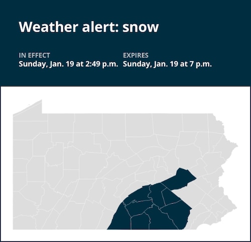
At 2:49 p.m. on Sunday, the National Weather Service updated their forecast, predicting snowfall in Franklin, Perry, Dauphin, Lebanon, Cumberland, Adams, York, and Lancaster counties through 7 p.m.
At 3 p.m., many bands of dense snow are forming over the Poconos and Lower Susquehanna Valley. Between 3 and 6 p.m., these areas will see the most snowfall of the day. Around 6 p.m., the snow bands should be east of Lebanon and Lancaster, where they will typically continue drifting eastward. Rapid snow accumulations and near-zero visibility are being caused by the storm bands. Travel will be extremely dangerous because to the decreased traction and dazzling visibility. Additionally, wind gusts of up to 20 mph will contribute to worsening travel conditions. It is not recommended to travel after 6 p.m. If you are already crossing the area, think about pausing. Accidents may result from slippery and snow-covered roadways and abrupt changes in visibility, according to the weather agency.
United Robots offers a service called Advance Local Weather Alerts that gathers the most recent information from the National Weather Service using machine learning.

